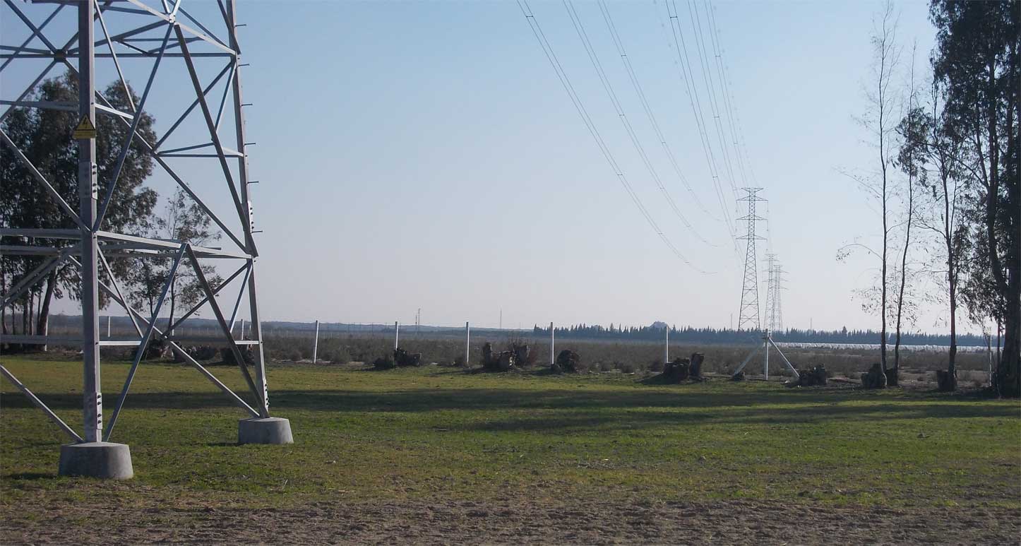
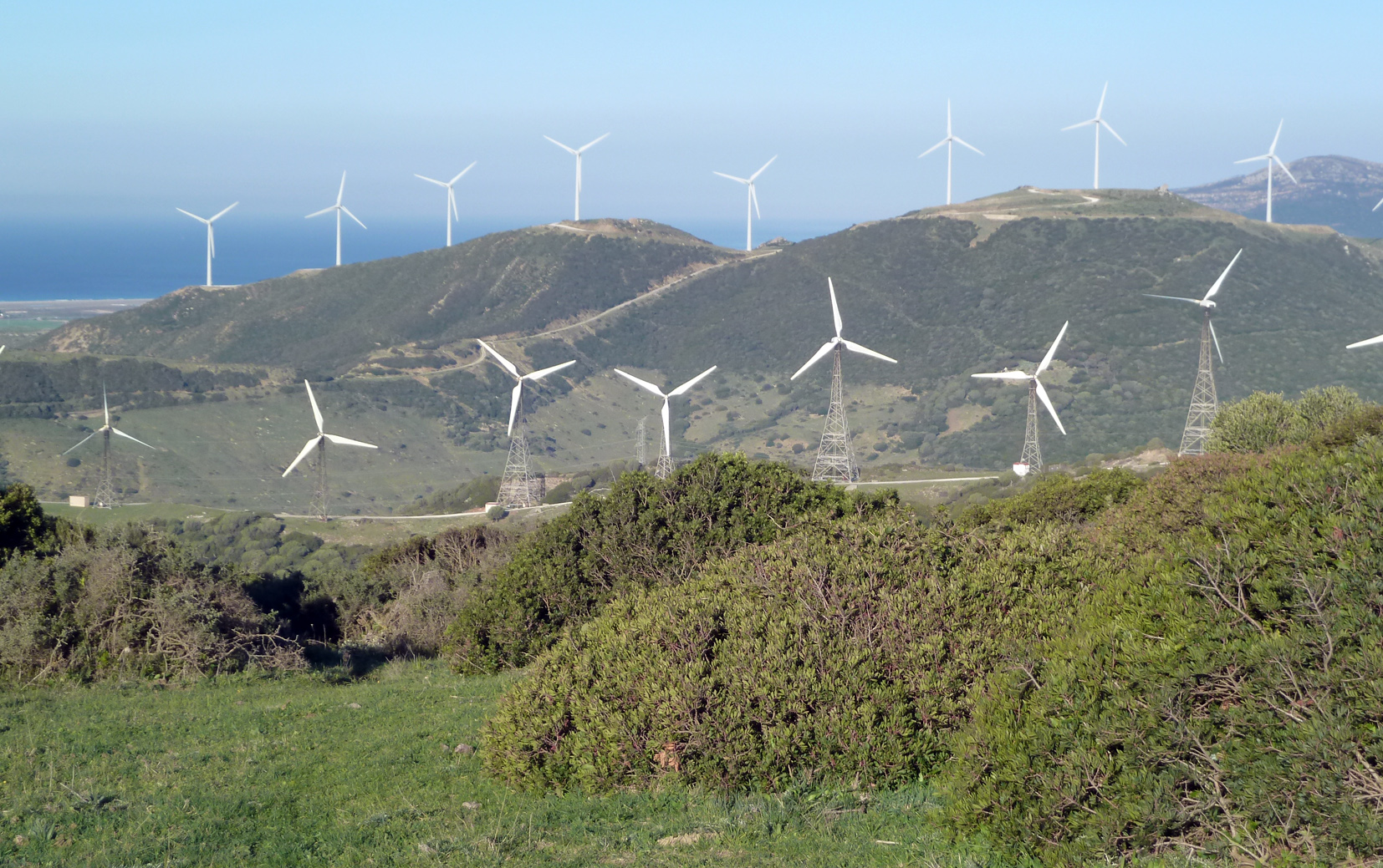
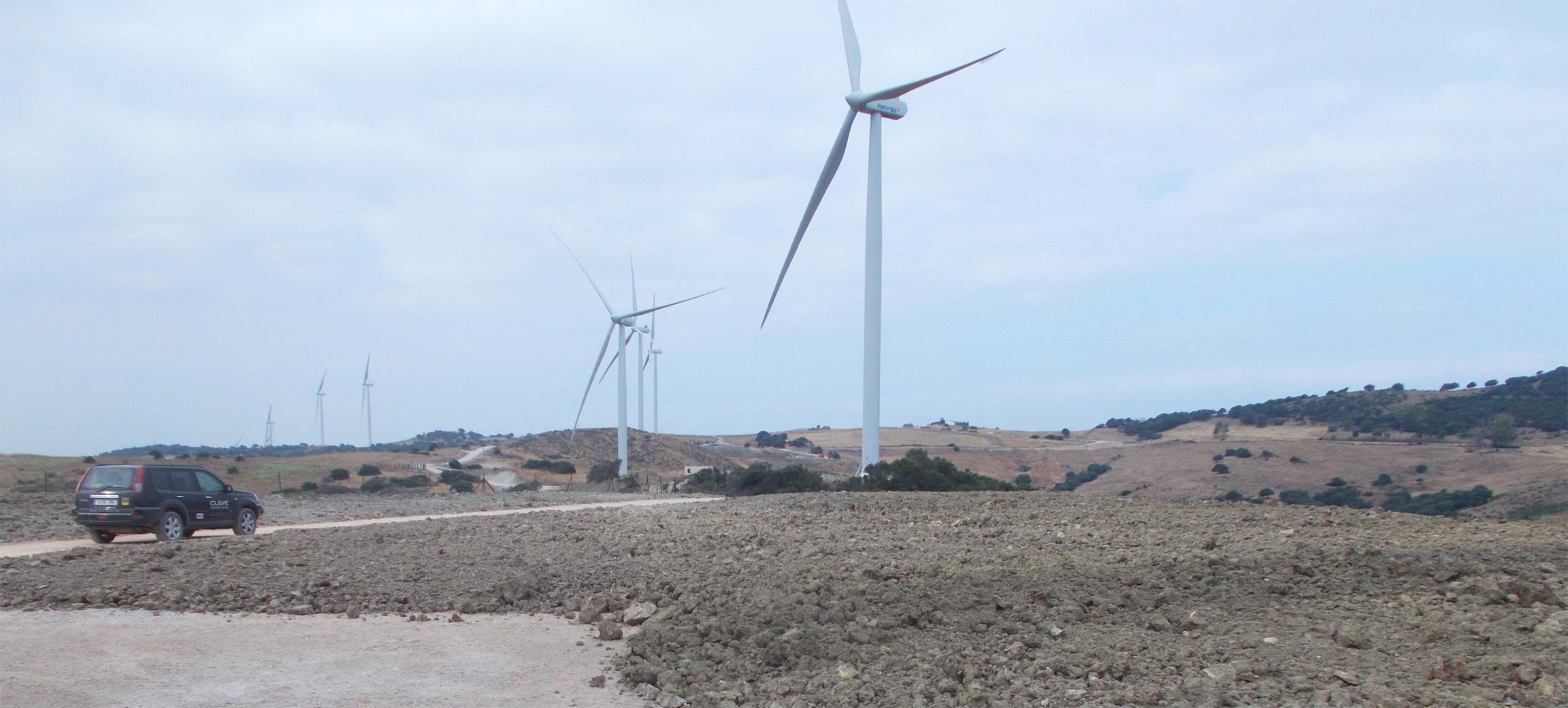
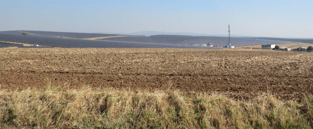
At Clave has succeeded in consolidating valuable experience and specialized knowledge in various fields that are crucial to the energy transition, climate change mitigation and adaptation, and overall in addressing the challenges of global change.
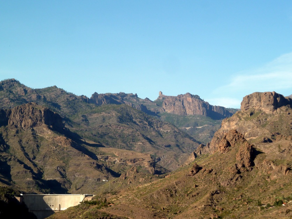
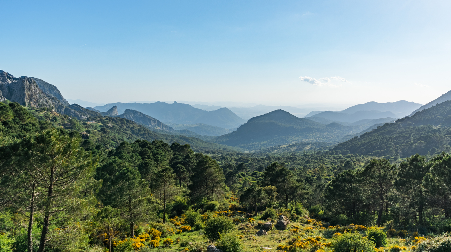
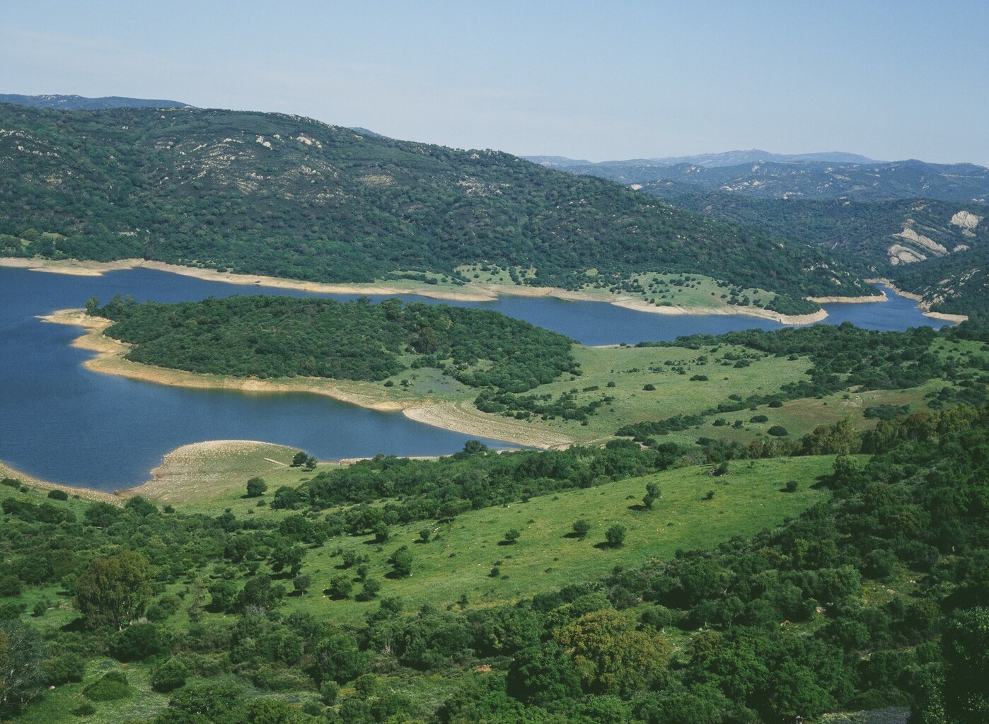
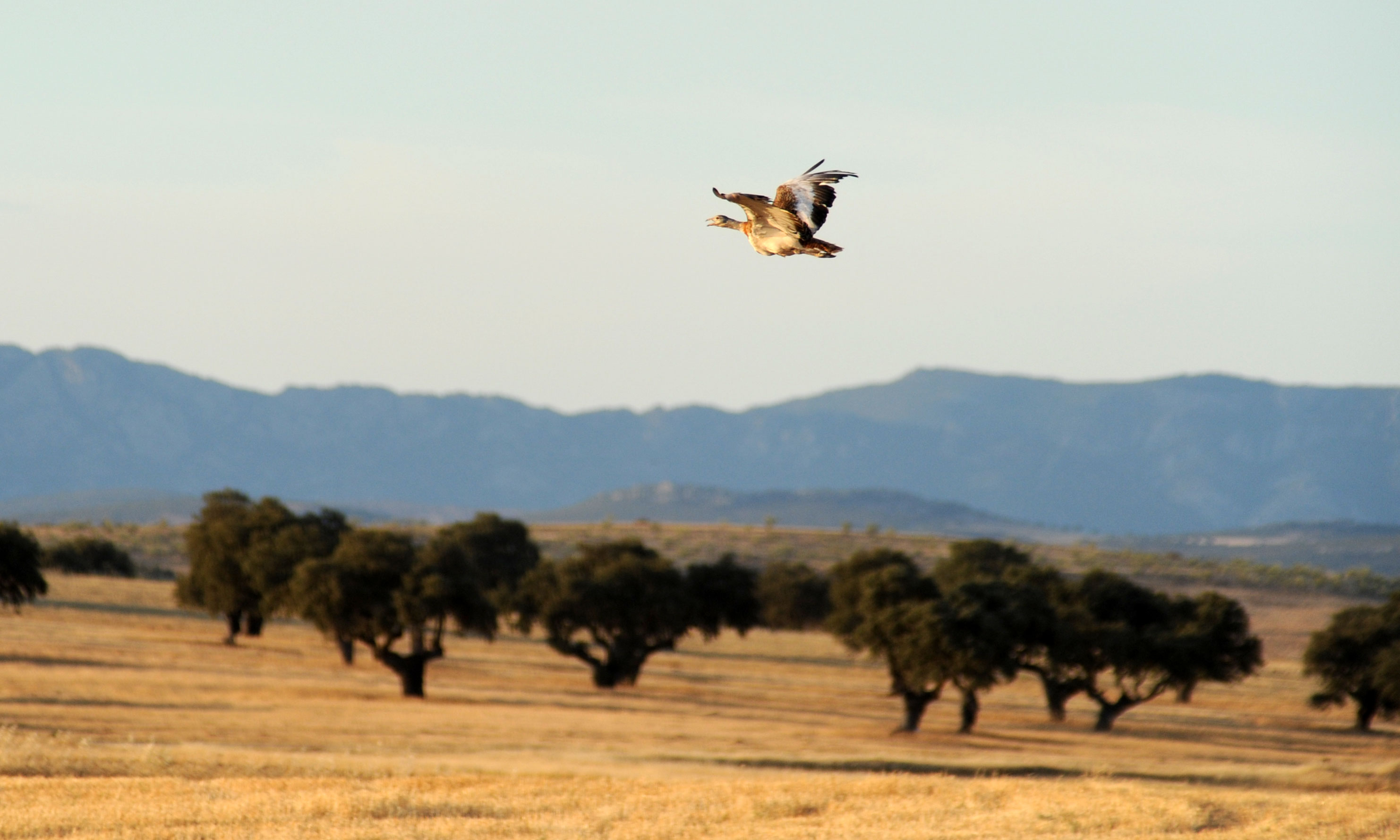
The At Clave team possesses in-depth knowledge of biodiversity, ecosystem dynamics, and the conditions for the conservation and regeneration of species and habitats—crucial elements in the territory’s biophysical matrix.
We have also developed innovative and advanced methodologies in the digital technology domain, achieving a level of excellence acknowledged by the European Environmental Award.
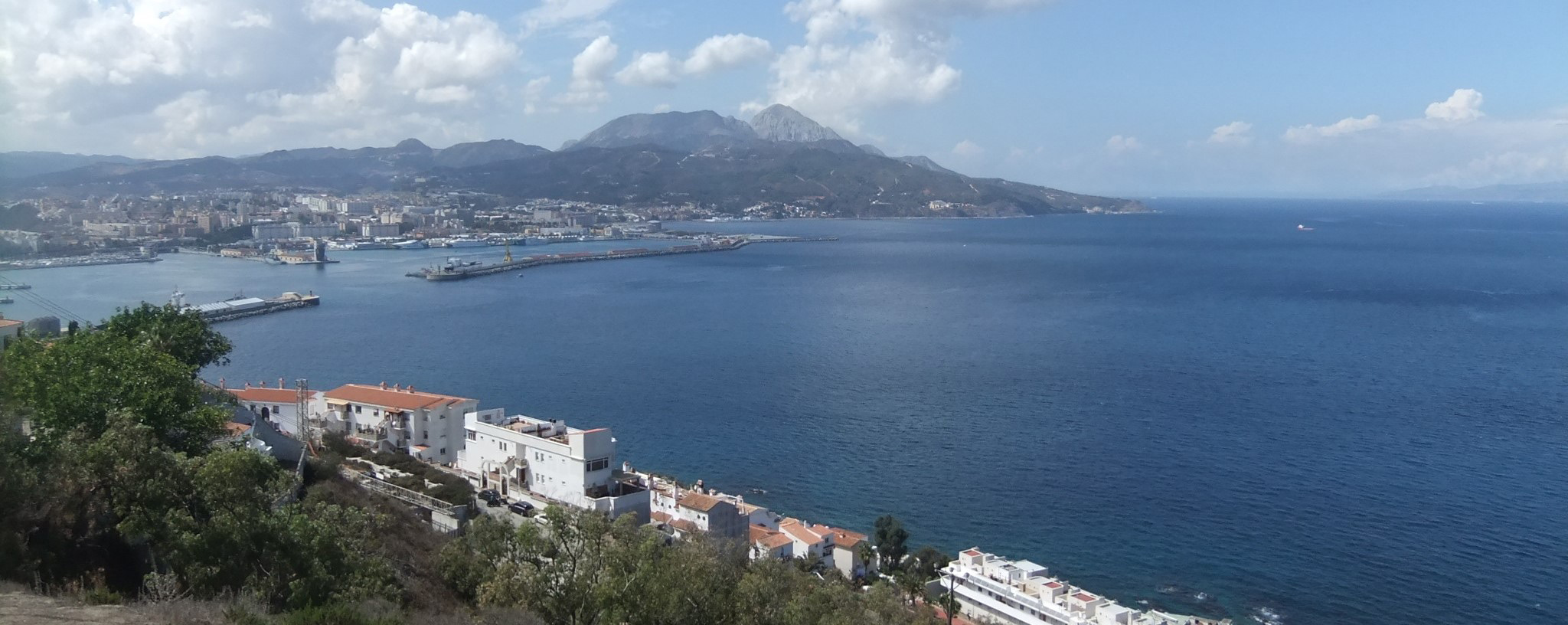
Our capabilities are further strengthened by experience in public participation and qualitative social research, which positively influences the social acceptance of projects within the new model.